What is GIS?
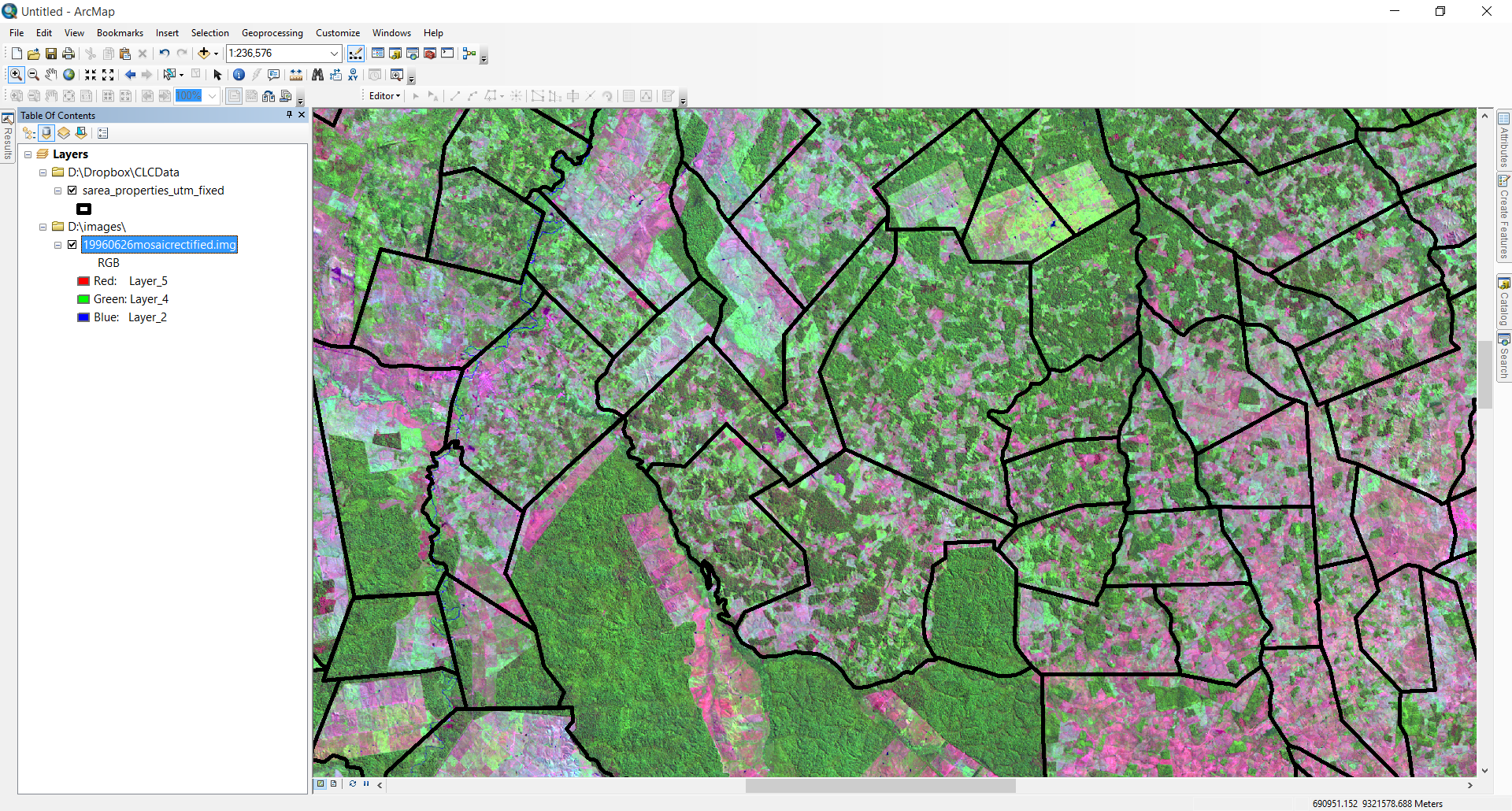
Geographic Information Systems is really the spatial data (often in the form of vector or image data), software tools, and expertise in management and analysis. GIS allows us to ask and answer questions, visualize data, and interpret results in an interactive computer environment. Applications of GIS vary quite a bit, but the goal is usually to understand spatial relationships between entities/features, trends, and patterns. GIS has an application in almost every discipline!
